A violent severe weather outbreak struck the Southeast on April 4–5, 1977. A total of 22 tornadoes touched down with the strongest ones occurring in Mississippi, Alabama, and Georgia. The strongest was a catastrophic F5 tornado that struck the northern Birmingham, Alabama, suburbs during the afternoon of Monday, April 4. In addition to this tornado, several other tornadoes were reported from the same system in the Midwest, Alabama, Georgia, Mississippi and North Carolina. One tornado in Floyd County, Georgia, killed one person, and another fatality was reported east of Birmingham in St. Clair County. In the end, the entire outbreak directly caused 24 deaths and 158 injuries. The storm system also caused the crash of Southern Airways Flight 242, which killed 72 and injured 22.
Outbreak statistics
Confirmed tornadoes
Prior to 1990, there is a likely undercount of tornadoes, particularly E/F0–1, with reports of weaker tornadoes becoming more common as population increased. A sharp increase in the annual average E/F0–1 count by approximately 200 tornadoes was noted upon the implementation of NEXRAD Doppler weather radar in 1990–1991. 1974 marked the first year where significant tornado (E/F2 ) counts became homogenous with contemporary values, attributed to the consistent implementation of Fujita scale assessments. Numerous discrepancies on the details of tornadoes in this outbreak exist between sources. The total count of tornadoes and ratings differs from various agencies accordingly. The list below documents information from the most contemporary official sources alongside assessments from tornado historian Thomas P. Grazulis.
Birmingham–Smithfield, Alabama
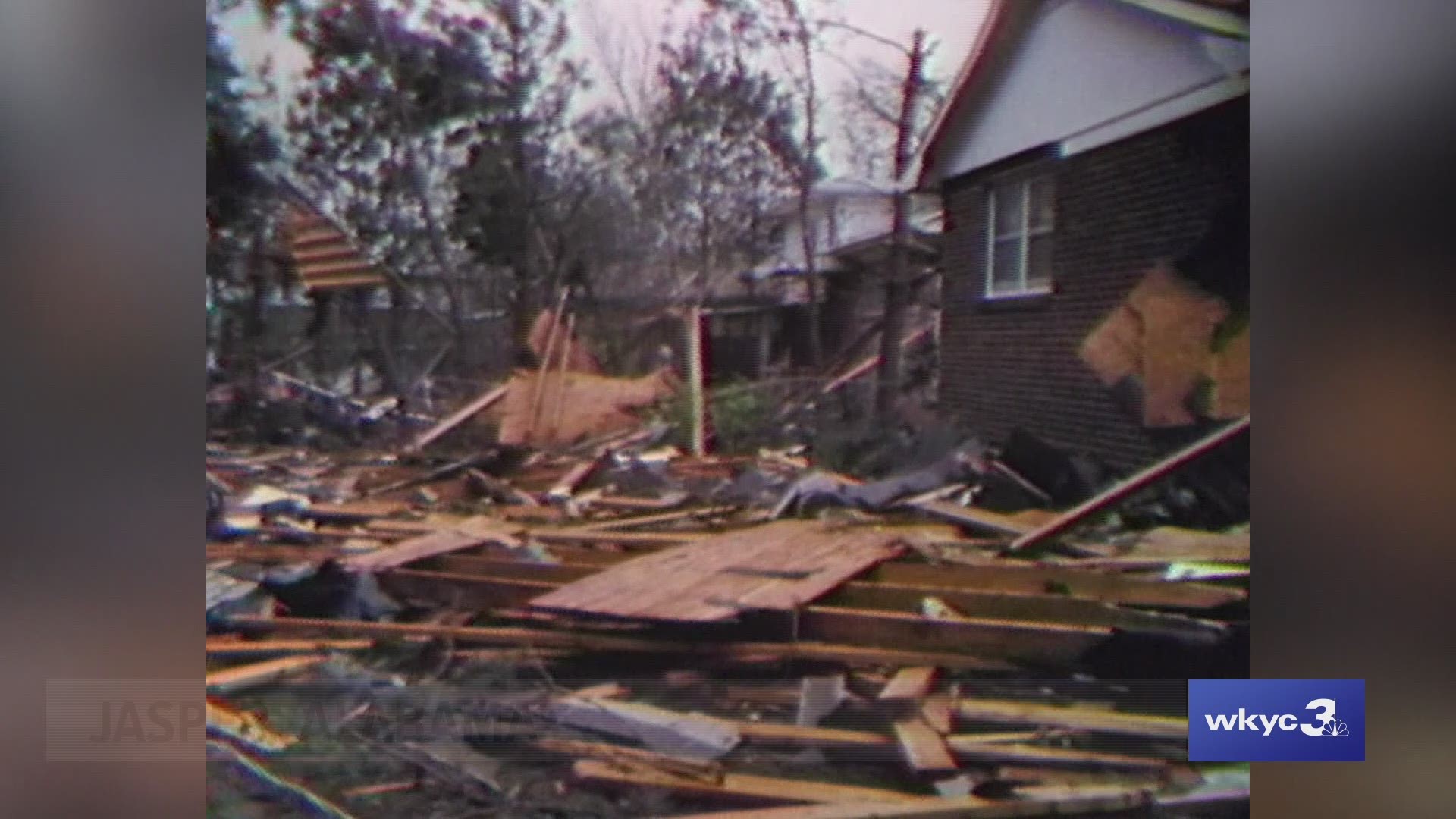
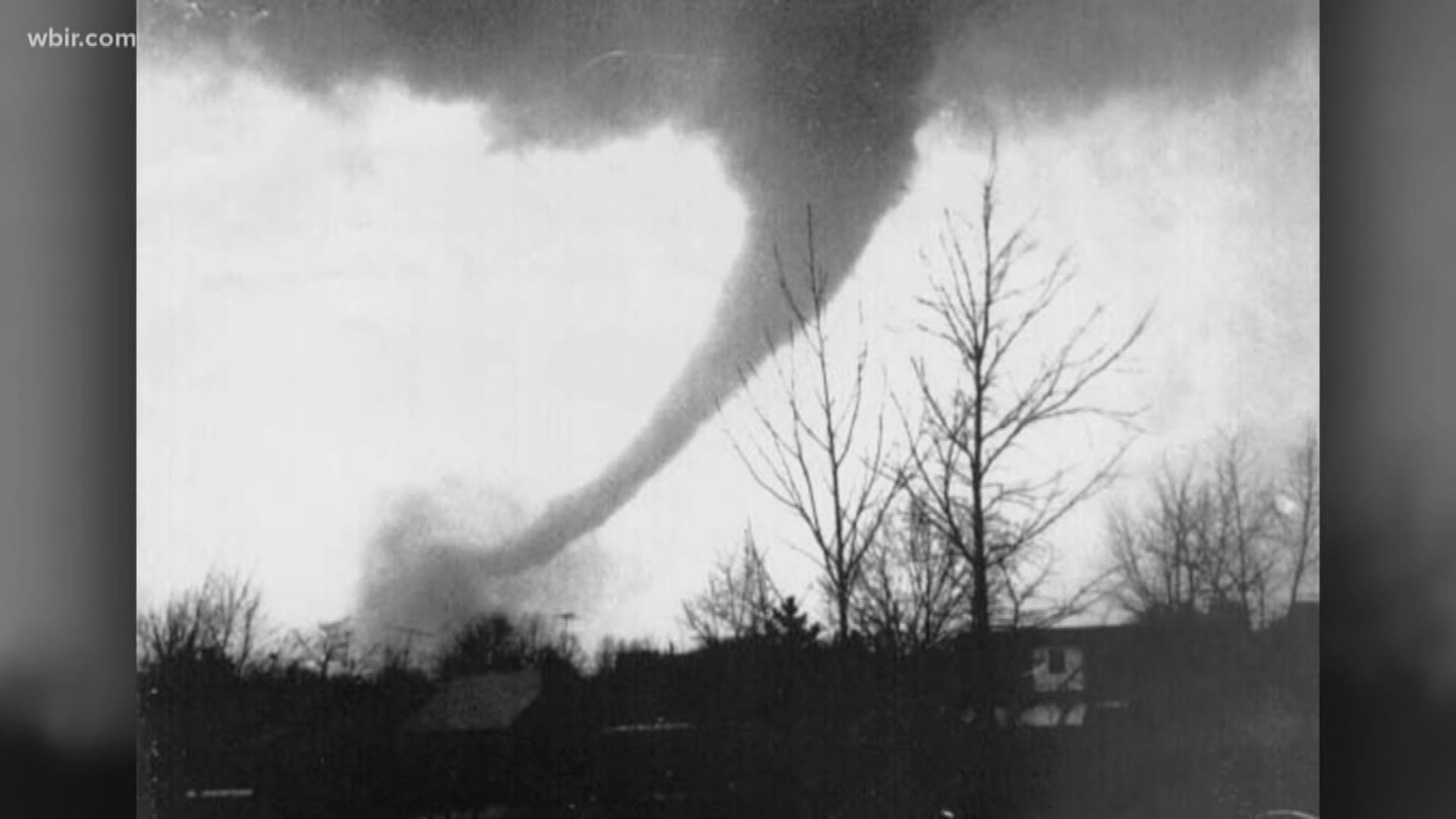
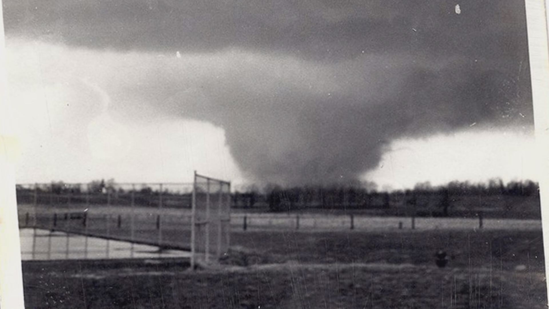
Developing 4 mi (6.4 km) northwest of Birmingham, near US 78, this violent tornado proceeded northeastward through northern Jefferson County. Near the point of touchdown, Daniel Payne College suffered extensive damage, forcing it to permanently close due to the extent of the destruction. Rapidly intensifying, it generated F5 damage in the neighborhood of Hayes Highland, particularly along and near a lane and drive each named Smithfield, from which the tornado derived its moniker. In this area, abutting the intersection of I-65 and US 31, hundreds of homes were completely destroyed, many of which were completely swept away, despite being well-built. Some of the homes built into hillsides even had their cinder-block basement walls swept away, and at least one home was reportedly annihilated, with even its foundation said to be missing. Many trees in the area were snapped and debarked and vehicles were thrown and destroyed. A pair of dump-trucks were thrown through the air as well. Ted Fujita followed the tornado and supercell from an airplane and while surveying damage; he rated the Smithfield tornado F5, but initially considered assigning a rating of F6. (He once rated the 1970 Lubbock and 1974 Xenia tornadoes as such, but his preliminary estimates were subsequently revised to the official ratings of F5.) The NCEI incorrectly list the path as extending from west of Birmingham to east-northeast of Tarrant.
Non-tornadic impacts
The storms that brought the tornadoes on April 4 also brought a large squall line across Alabama. This proved disastrous when Southern Airways Flight 242 attempted to fly around the storm and instead flew straight into it. Massive amounts of very large hail and very heavy rain battered the plane and destroyed its engines. With no way to keep flying, it attempted a landing on a stretch of highway in New Hope, Georgia. The road section used for the forced landing, formerly called Georgia State Route 92 Spur, is now called Dallas–Acworth Highway (formerly Georgia State Route 381). The DC-9 actually landed successfully, but then crashed into a gas station, grocery store, and other structures and vehicles during the rollout. The plane was destroyed, killing the flight crew, 60 passengers, and nine people on the ground.
Aftermath, recovery, and records
The F5 tornado touched down near the end of the path of three other violent tornadoes that struck the Birmingham region in 1956, 1998, and 2011. The 1956 tornado was an F4 that struck McDonald Chapel and continued through Edgewater, northern Birmingham, Fultondale, and Tarrant before dissipating, killing 25. In 1998, an F5 tornado touched town in a rural area near Tuscaloosa before impacting Rock Creek, Sylvan Springs, Edgewater and McDonald Chapel, killing 32. The 2011 tornado was an EF4 that devastated Tuscaloosa and then struck Concord, Pleasant Grove, McDonald Chapel, northern Birmingham, and Fultondale before lifting, killing 64.
See also
- List of F5 and EF5 tornadoes
- April 1998 Birmingham tornado
- List of North American tornadoes and tornado outbreaks
- Southern Airways Flight 242
Notes
References
Sources
- Agee, Ernest M.; Childs, Samuel (June 1, 2014). "Adjustments in Tornado Counts, F-Scale Intensity, and Path Width for Assessing Significant Tornado Destruction". Journal of Applied Meteorology and Climatology. 53 (6). American Meteorological Society: 1494–1505. doi:10.1175/JAMC-D-13-0235.1.
- Brooks, Harold E. (April 2004). "On the Relationship of Tornado Path Length and Width to Intensity". Weather and Forecasting. 19 (2): 310–19. Bibcode:2004WtFor..19..310B. doi:10.1175/1520-0434(2004)019<0310:OTROTP>2.0.CO;2.
- Cook, A. R.; Schaefer, J. T. (August 2008). "The Relation of El Niño–Southern Oscillation (ENSO) to Winter Tornado Outbreaks". Monthly Weather Review. 136 (8): 3121–3137. Bibcode:2008MWRv..136.3121C. doi:10.1175/2007MWR2171.1.
- Edwards, Roger; LaDue, James G.; Ferree, John T.; Scharfenberg, Kevin; Maier, Chris; Coulbourne, William L. (May 1, 2013). "Tornado Intensity Estimation: Past, Present, and Future". Bulletin of the American Meteorological Society. 94 (5). American Meteorological Society: 641–653. doi:10.1175/BAMS-D-11-00006.1.
- Grazulis, Thomas P. (May 1984). Violent Tornado Climatography, 1880–1982. OSTI (Technical report). NUREG. Washington, D.C.: Nuclear Regulatory Commission. OSTI 7099491. CR-3670.
- — (November 1990). Significant Tornadoes 1880–1989. Vol. 2. St. Johnsbury, Vermont: The Tornado Project of Environmental Films. ISBN 1-879362-02-3.
- — (July 1993). Significant Tornadoes 1680–1991: A Chronology and Analysis of Events. St. Johnsbury, Vermont: The Tornado Project of Environmental Films. ISBN 1-879362-03-1.
- — (2001a). The Tornado: Nature's Ultimate Windstorm. Norman: University of Oklahoma Press. ISBN 978-0-8061-3538-0.
- — (2001b). F5-F6 Tornadoes. St. Johnsbury, Vermont: The Tornado Project of Environmental Films.
- National Weather Service (April 1977). "Storm Data and Unusual Weather Phenomena". Storm Data. 19 (4). Asheville, North Carolina: National Climatic Data Center.
- National Weather Service (April 1977). Storm Data Publication (Report). National Centers for Environmental Information – via Storm Events Database.